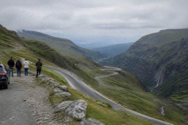
Transfagarasan Highway: The Mountain Road From Sibiu
The Transfăgărășan is the high mountain road across the Făgăraș range, reached from Sibiu in about an hour, and it is open only as a summer road. This guide sets out the opening rules, the drive times, the cable car alternative and the ways to do it without a car.
Short answer
The Transfăgărășan (DN7C) crosses the Făgăraș mountains and reached its 2026 season opening on 12 June, open to traffic 07:00 to 21:00; the alpine stretch can close on any day from 20 October, so check the live road status the day you drive.
Sibiu, in Transylvania, Romania, sits at the foot of the Făgăraș range, and the Transfăgărășan (DN7C) is the road that climbs from that foothill country to 2,034 m at Lake Bâlea. It is a summer road and nothing else: the 2026 season reopened on 12 June between Bâlea Cascadă and Piscu Negru, traffic is allowed only between 07:00 and 21:00, and by rule the alpine stretch can be closed on any day from 20 October. Everything on this page, the drive times, the rules, the cable car and the tours, is laid out for a day trip from Sibiu, and the live road status is the one thing to check on the morning you go.
What Is The Transfăgărășan And Why Does Everyone Drive It From Sibiu?
The Transfăgărășan (DN7C) is a mountain road that crosses the Făgăraș range, the highest stretch of the Southern Carpathians, and Sibiu is the natural base because the southern end of the road is roughly 63 km and about 69 minutes by road from Piața Mare. The road climbs from the Bâlea Cascadă end up past tunnels, switchbacks and viaducts to Lake Bâlea at 2,034 m, then descends the northern side toward the Vidraru dam area. The drive times in this guide are computed over OpenStreetMap routing in free-flow conditions, so they are planning figures rather than a promise, and the mountains add time in bad weather.
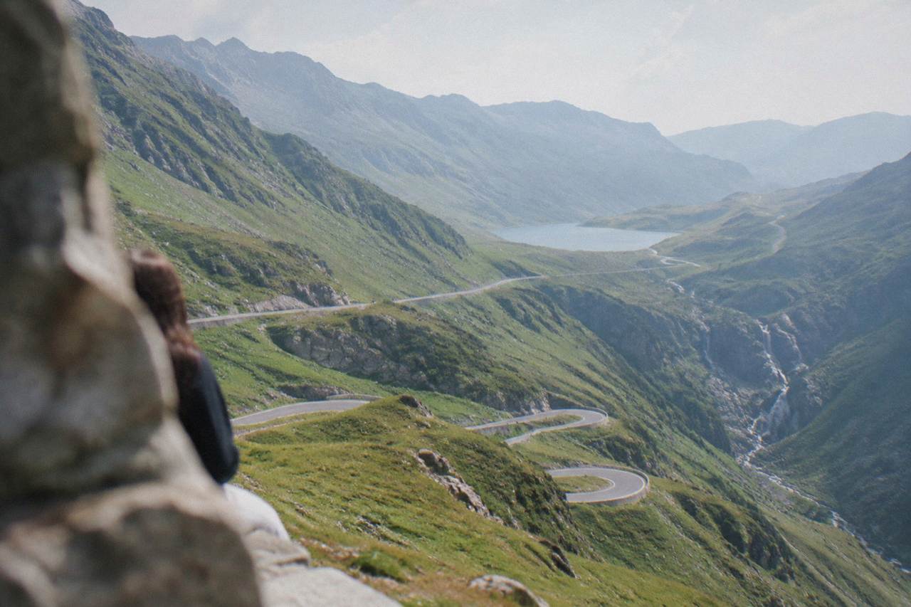
Sibiu works as the base for practical reasons, not sentimental ones. The road's southern access sits off the Olt valley road south of the city, the drive out is short, and the city itself has the full range of places to stay and eat for a night before and after. The high stretch is the part people come for: the hairpins above Bâlea Cascadă, the tunnel under Paltinul Șeaua, and the lake basin at the top.
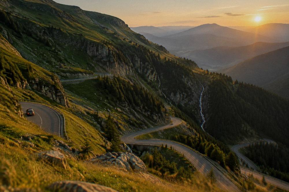
The other way to frame it: the Transfăgărășan is one of several mountain and heritage days out of Sibiu, alongside Păltiniș for skiing and forest, and the Saxon fortified-church country to the north. A longer Transylvania route can string them together, and the Transylvania road trip from Sibiu covers how. For a first visit, though, the road is usually done as a single long day from the city, and that is what the rest of this page assumes.
Is The Transfăgărășan Open, And When Does The Road Close?
The 2026 season opened on 12 June at 12:00 on the high stretch between Bâlea Cascadă and Piscu Negru, the road is open to traffic only from 07:00 to 21:00 daily, and by rule the alpine section can be closed on any day from 20 October. On 23 September 2026 the road was still open in winter conditions at the top, and its status after that date is not known from the sources here. The closing date moves with the snow, earlier or later, and no source can promise it in advance.
This is the single most important thing to understand about the road: there is no fixed season. The rule is that the alpine stretch is closable from 20 October, and snow can shut it earlier, as it has in some years. The road authority's live status is the only reliable answer for the day you plan to drive, and checking it the same morning is the habit to build. Driving the closed section is fined 10,000 to 30,000 lei under the law in force since November 2025, so the gate at the bottom is not a negotiation.
| Rule | What the sources say |
|---|---|
| 2026 reopening | 12 June 2026, 12:00, Bâlea Cascadă to Piscu Negru |
| Daily traffic hours | 07:00 to 21:00 only |
| Earliest closure rule | Any day from 20 October |
| Status on 23 Sep 2026 | Open, winter conditions at the top |
| Fine for the closed section | 10,000 to 30,000 lei |
| Status after 23 Sep 2026 | Not known, check live road status |
The question "is it open right now" is asked often enough that this site keeps a dedicated page on it: is the Transfăgărășan road currently open?. The short version stands: summer road, 07:00 to 21:00, closable from 20 October, live status on the day. If the answer is no, the cable car below is the fallback, and if the whole mountain is out, Sibiu in winter has the indoor and lowland alternatives.
If you would rather someone else track the gate times and the weather window, the road is one of the region's most-booked drives:
How Long Is The Drive From Sibiu To Bâlea Lake?
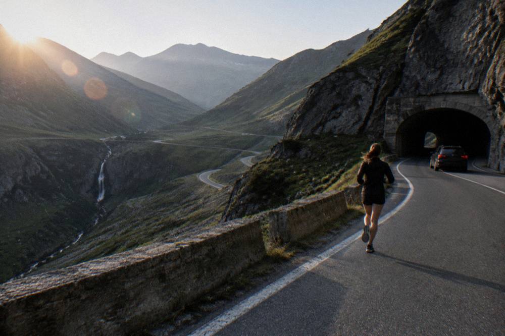
The drive from Piața Mare in Sibiu to the Bâlea Cascadă end of the Transfăgărășan is about 63 km and roughly 69 minutes by road, and to the Lake Bâlea pin at the top it is about 76 km and roughly 88 minutes, computed over OpenStreetMap routing in free-flow conditions. Those are one-way figures without stops. With photos, the tunnel, the lake and lunch, the realistic shape of the day is a full day out of Sibiu, not a half-day spin.
The climb itself is slow by design. The stretch of hairpins between the Bâlea Cascadă car park and the lake is where the driving time goes, because the road is steep, the bends are tight and in season there is traffic. The computed figures assume free flow; treat them as the floor, not the ceiling. In October, add margin for ice at the top even when the road is open, as the 23 September status showed winter conditions up high.
| Journey from Piața Mare, Sibiu | Distance | Drive time (computed, free-flow) |
|---|---|---|
| To the Bâlea Cascadă end of the road | about 63 km | about 69 minutes |
| To the Lake Bâlea pin | about 76 km | about 88 minutes |
Two practical notes sit around those numbers. First, the A1 motorway toward Bucharest is not finished, and the Sibiu to Boița section is closed from 5 October to 19 December 2026 with traffic diverted onto DN7, so the run south out of the city needs extra time in that window. Second, parking prices and rules along the road were not found in any source checked here: confirm locally on the day, and expect the car parks at Bâlea Cascadă and the lake to fill in July and August.
The featured option on this site is a private tour that covers the road, the lake and both waterfalls, with the driving and the gate timing handled for you. Read about the Private Transfăgărășan tour or go straight to the operator's live listing: Check availability.
What Does The Road Cover, Section By Section?
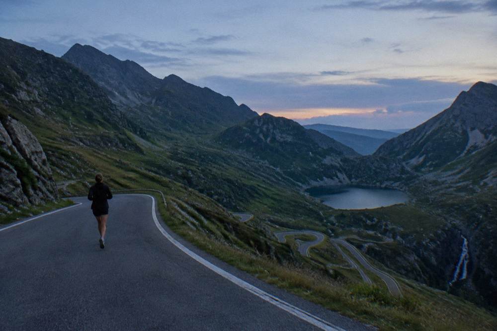
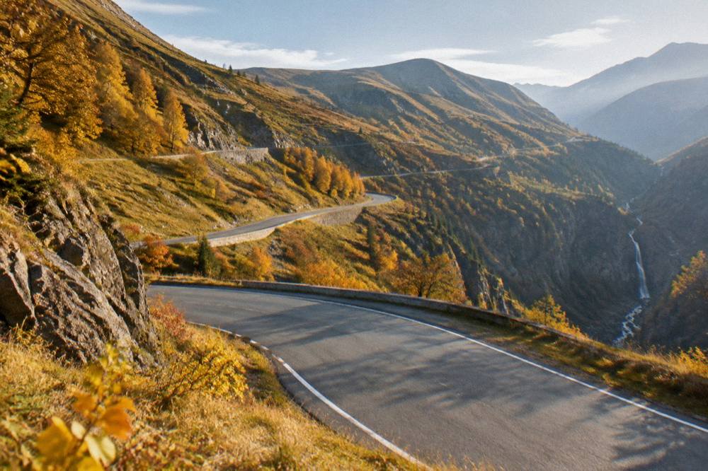
The Transfăgărășan from the Sibiu side runs from the Olt valley road up to the Bâlea Cascadă waterfall car park, then climbs the famous hairpin stretch to Lake Bâlea at 2,034 m, passes through the tunnel at the top and descends the northern side toward the Vidraru dam and Poenari fortress country. Each section behaves differently, and knowing which is which stops the common mistake of turning around at the waterfall when the part people come for is still above you.
The southern approach is ordinary valley road through villages until the forest closes in. Bâlea Cascadă is the waterfall and the car park at the foot of the climb, and the cable car station sits here. Above it the road becomes the switchback stretch photographed from every drone in Romania, ending at the lake basin, a glacial cirque with the tunnel under the ridge. The northern descent is quieter, passing toward Vidraru and the Argeș valley, from which Poenari fortress is reached; confirm opening hours, prices and step counts before building a day around it.
| Section | What it is | Note |
|---|---|---|
| Olt valley to the foot of the road | Valley road south of Sibiu | A1 Sibiu-Boița closure diverts traffic onto DN7 to 19 Dec 2026 |
| Bâlea Cascadă | Waterfall, car park, cable car base | Cable car runs about 09:00 to 18:00, per the operator's page |
| Hairpin climb | The switchback stretch to the top | Slow, steep, busy in July and August |
| Lake Bâlea | Glacial lake at 2,034 m | The high point of the road |
| Tunnel and north side | Descent toward Vidraru dam | Distances only; site details not found |
On swimming in Lake Bâlea: the sources checked give no swimming rule either way, so this page gives no verdict. It is a cold glacial lake at altitude, and that is all that can responsibly be said. The dedicated Bâlea Lake page covers the lake itself in more depth.
What Is The Weather Like On The Transfăgărășan?
Sibiu's climate is temperate continental, with January mean lows around -5.7 C and July and August mean highs around 24 C in the city, and the road at 2,034 m runs significantly colder and windier than those valley figures at any time of year, which is exactly why it closes for winter. The city figures below are ERA5 reanalysis, 1991-2020, a modelled grid cell near Sibiu at about 430 m, not a weather station record, and the lake basin sits far above that elevation.
The practical reading: even in August, the top can be jacket weather, and in late September the road was already in winter conditions while Sibiu was still mild. Snow falls in the city from November to March, modelled at 23 cm in January, and at altitude that snow arrives earlier and stays longer. The 20 October closure rule exists because of this gap between the valley and the ridge.
| Month | Sibiu high C | Sibiu low C | Sun h/day | Snow cm |
|---|---|---|---|---|
| Jan | 2.2 | -5.7 | 6.2 | 23.3 |
| Feb | 4.3 | -4.4 | 7.1 | 22.3 |
| Mar | 8.7 | -0.8 | 8.7 | 18.2 |
| Apr | 14.6 | 4.0 | 10.4 | 7.8 |
| May | 19.1 | 9.0 | 11.3 | 0.3 |
| Jun | 22.4 | 12.9 | 12.4 | 0.0 |
| Jul | 24.2 | 14.6 | 12.8 | 0.0 |
| Aug | 24.5 | 14.8 | 11.8 | 0.0 |
| Sep | 19.6 | 10.5 | 9.7 | 0.1 |
| Oct | 14.5 | 5.7 | 8.0 | 2.7 |
| Nov | 8.7 | 0.9 | 6.4 | 13.0 |
| Dec | 3.1 | -3.9 | 5.6 | 20.8 |
ERA5 reanalysis, 1991-2020, grid cell near Sibiu. The city's official figures, per the city's own page, are a mean annual temperature of 8.9 C and mean annual rainfall of 662 mm. Plan clothing for the ridge, not the valley, and treat any month after mid-September as a day you verify road status first and pack layers second.
Can You Do The Transfăgărășan Without A Car?
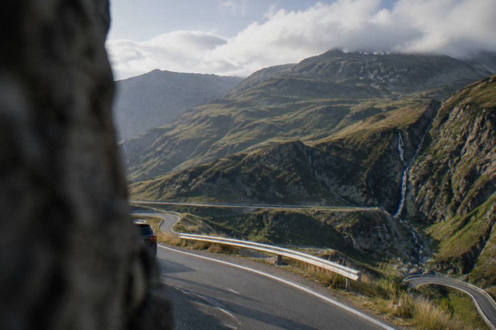
Yes, and there are three realistic ways to do the road from Sibiu without driving it yourself: a dedicated bus transfer that runs from the city up to Bâlea, the Bâlea Cascadă to Bâlea Lac cable car that covers the final climb to the lake, and a guided or private tour that includes the whole drive with a driver who handles the road. The Transfăgărășan is drivable by anyone with a licence and patience, but it is also one of the easiest big drives in Romania to outsource, and in peak season the parking at the top argues for doing so.
The bus option is the simplest self-guided one. A transfer runs from Sibiu to Bâlea, and its listing carries the current schedule and fare:
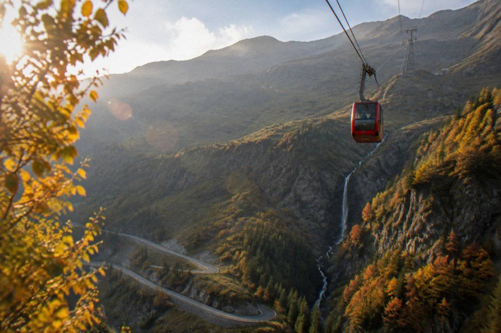
The cable car is the second piece of the no-car puzzle. Per the operator's page, it runs from Bâlea Cascadă up to Lake Bâlea about 09:00 to 18:00, roughly every 30 minutes, with a ride of about 15 minutes, and it keeps running in October and November as the winter access when the road is shut. Its ticket price is not confirmed from the sources here, two figures appear and it is unclear which line each belongs to, so check the current price with the operator before you go.
Tours are the third way, and they vary in shape: this site lists the private road-and-waterfalls tour above, a Transfăgărășan and Vidraru dam day tour, and a longer Transfăgărășan, Vidraru and Poenari option. A common worry on the mountain, bears, deserves a plain answer: bears live in these forests, follow local signs and guidance, and no count or fine figure exists to print. The general safety angles for the region are on the site's Sibiu safety tips page, and city-level planning is on the Sibiu Travel Guide homepage.
What About Hiking The Făgăraș Range Instead Of Driving It?
The Făgăraș mountains around the road are genuine hiking country, with marked high terrain above and beside the road, and a guided day hike is a way to see the range that the car window cannot; no trail length, trail time or hut name is sourced here, so this page names none and no self-guided route is described. What is verifiable is that the road gives walkers unusual access to a high start, and that private guided hikes from Sibiu exist as bookable products.
The distinction matters. Driving the Transfăgărășan is a road day; hiking the Făgăraș is a mountain day, with mountain weather, mountain footwear and the same bear country qualms as any Carpathian ridge. A guide handles route choice, conditions and timing, which is the honest reason to book one rather than navigate independently on terrain with no sourced trail data.
For a mix of both, some travellers drive the road one day and walk the gentler forest and pasture country the next. Păltiniș, 32 km and about 40 minutes by road from Sibiu, is the other mountain option in the same compass direction, and its ski season opens on 28 November 2026; its lift prices rise by at most about 5 percent, per the press announcement, and ski and rental prices themselves were not found, so confirm with the resort.
What Else Combines With A Transfăgărășan Day From Sibiu?
The road pairs naturally with the northern-side sights toward Vidraru and Poenari, and, on separate days, with the heritage towns and castles within about two and a half hours of Sibiu: Făgăraș fortress about 80 minutes, Brașov and Bran Castle about 154 minutes each, and Sighișoara about 102 minutes by road. The figures below are computed from Piața Mare in free-flow conditions, so a full loop of road plus fortress plus town is a big day and usually better split.
| Destination from Piața Mare | Distance | Drive time (computed) |
|---|---|---|
| Bâlea Cascadă (road start) | about 63 km | about 69 minutes |
| Lake Bâlea | about 76 km | about 88 minutes |
| Cetatea Făgăraș | about 75 km | about 80 minutes |
| Alba Iulia | about 71 km | about 81 minutes |
| Sighișoara | about 96 km | about 102 minutes |
| Brașov | about 142 km | about 154 minutes |
| Castelul Bran | about 138 km | about 154 minutes |
Distances for Făgăraș fortress, Vidraru and Poenari are printed, but hours and prices are not, so confirm each locally. The northern descent of the Transfăgărășan itself passes the Vidraru dam area, which is how the combined road-and-dam tours are built. If the mountain is shut or the weather turns, the fallback days out of Sibiu are the towns and castles above, and the three days in Sibiu itinerary sequences a mountain day between them.
For a longer trip built around the drive, the site's Sibiu and Transfăgărășan itinerary puts the road in a multi-day frame. And if the question you are really asking is which of Romania's mountain roads to drive at all, the Transfăgărășan has a rival in the Transalpina (DN67C), which reopened on 29 May 2026 and runs reduced daytime hours, reported as 09:00 to 18:00 from 26 September; no autumn closure date for it was found. The comparison lives on the site's page on the most scenic road in Romania.
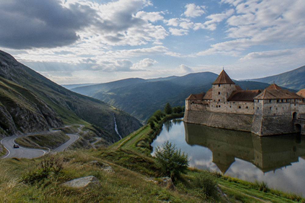
One warning that belongs in any Transfăgărășan plan: do not try to fold Bucharest into the same day. Bucharest is about 250 km away, the motorway there is unfinished, and the Sibiu to Boița section is closed to 19 December 2026 with a diversion onto DN7. The mountain road deserves its own day, and the capital its own, with the region's smaller towns, Sighișoara and Brașov among them, filling the days between.
In the last third of the season window, October, the calculus changes: fewer cars, colder tops, and a closure that can arrive on any day from the 20th. That is the window where the tours earn their keep, because a local operator is tracking the gate status daily:
Common Questions About The Transfăgărășan From Sibiu
Is the Transfăgărășan open?
The 2026 season opened on 12 June on the high stretch between Bâlea Cascadă and Piscu Negru, with traffic allowed 07:00 to 21:00 daily. By rule the alpine stretch can be closed on any day from 20 October, and snow can shut it earlier. Check the road authority's live status on the morning you drive.
How long does it take to drive the Transfăgărășan from Sibiu?
From Piața Mare in Sibiu, the drive to the Bâlea Cascadă end is about 63 km and roughly 69 minutes, and to Lake Bâlea about 76 km and roughly 88 minutes, computed in free-flow conditions. With stops, the realistic day is a full one.
What happens if the road is closed?
The cable car from Bâlea Cascadă to Bâlea Lac keeps running in October and November as the winter access, per the operator's page, about 09:00 to 18:00 and roughly every 30 minutes. Its ticket price is not confirmed here, so check with the operator. Driving the closed section is fined 10,000 to 30,000 lei.
Can you get to Bâlea Lake without a car?
Yes. A bus transfer from Sibiu to Bâlea exists as a bookable product, the cable car covers the final climb, and several guided tours from Sibiu include the drive and the lake.
Is the Transfăgărășan the same as the Transalpina?
No. The Transfăgărășan is DN7C across the Făgăraș range from the Sibiu side; the Transalpina is DN67C in a different part of the range, reopened on 29 May 2026 with reported reduced hours of 09:00 to 18:00 from 26 September. No autumn closure date for the Transalpina was found.
What is at the top of the road?
Lake Bâlea, a glacial lake at 2,034 m in a high cirque, with the tunnel under the ridge at the top of the climb. The sources checked give no swimming rule for the lake, so confirm locally rather than planning a swim.